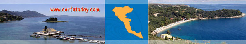
Barbati is a lovely resort in the north east part of Corfu island. Clik on the interactive google Barbati map to zoom
in and get a detailed view of Barbati and the near palces. Barbati map is on the northeast coast of the of Corfu, on the Ionian Sea, 30km south of Corfu island's capital and 31km from the airport. Barbati is almost two resorts in one.
The main Barbati road is lined by bars and restaurants mixed in with traditional tavernas and pavement cafes, while the beach enjoys blissful seclusion, away from the road & busier centre. Couples needing quiet lay in the sun all day.
Young families paddle in the shallow, clear seas. This pristine pine-lined bay has won the European Blue Flag and it's amazing it's not busier than it is. With two boat rental stalls and banana boats or waterskiing, the watersports here are unobtrusive. It may be small, but Barbati has its fair share of watering holes. For total refreshment, try one of the public swimming pool bars in Barbati - something for mind, body and soul! Seaside bars like Agathi's are ideal for
a cocktail at sunset. After dark Barbati buzzes with laughter and music - the perfect way to wind down as the day cools off. elf catering holidays in Barbati are a breeze, with a couple of supermarkets and evenings out on taverna terraces. |