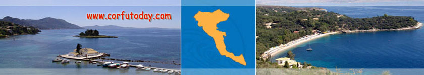
Paleokastritsa is a lovely holiday resort in the west side of Corfu island. Clik on the interactive google map to zoom in (enlaarge) and get a detailed street map of Paleokastritsa area and near palces. You can locate Paleokastritsa map on Corfu's western coast. This village situated in a distance of 32 km away from the city of Kerkyra. Paleokastritsa is known for its superb beaches, with blue-green waters and with picturesque rocky bays. Apart from the main beach there are narrow paths leading to other smaller coves. Each of Paleokastrista's five bays is made up of a shingle beach that is lapped by crystal and clear waters. Sun-loungers and watersports equipment can be hired on the beach.
The resort runs along the coast road that winds among the cliffs and sheltered bays. Paleokastritsa is a firm favorite with British and Italian holidaymakers. Surrounded by lush and beautiful countryside it is one of the most scenic resorts on Corfu. In the harbour, yachts from all parts of the Mediterranean are berthed. Magnificent views are obtained from both the monastery and the hills above, particularly from the village of Lakones. There are a fantastic range of eateries from the inexpensive tavernas to a number of expensive restaurants. Locally-caught lobster is the speciality and even though the local drinks, such as Metaxa and Ouzo, are not as sophisticated, they are certainly enjoyable
|